It’s 8:00 p.m. on Tuesday, March 26, 2019, and I just finished watching an episode from the final season of Anthony Bourdain: Parts Unknown. I have traveled the world with Tony for the better part of 15 years, living vicariously through his experiences and connecting with faraway cultures through his storytelling. This particular episode hits close to home because Tony heads to far West Texas to visit a part of the state unfamiliar to most—a geographic region known simply as Big Bend Country.
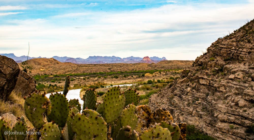
Big Bend is named after the bend in the Rio Grande River, where the river changes course and sweeps across the Chihuahuan desert to form the state’s recognizable southwestern boundary. It’s a landscape full of contrasts—river and desert, mountain and valley, shadow and light, seclusion and activity—all packed into a surreal setting that once provoked Lady Bird Johnson to say, “This looks like the very edge of the world.”
My girlfriend and I set up camp outside the old ghost town of Terlingua after an eight-hour drive from Austin. After settling in, we gathered our camera equipment and raced over to Santa Elena Canyon while there was still daylight.
Big Bend is the 14th largest national park in the U.S., covering 1,252 square miles, and we quickly learned getting from one end to the other was no easy task. The sun was beginning to slouch in the wide-open skies as we hurried along the 30-mile Ross Maxwell Scenic Drive to the western edge of the park. The road took us through winding mountain passes and across flat straightaways blanketed on either side with bluebonnets basking in what some have called the state’s best wildflower season in a decade.
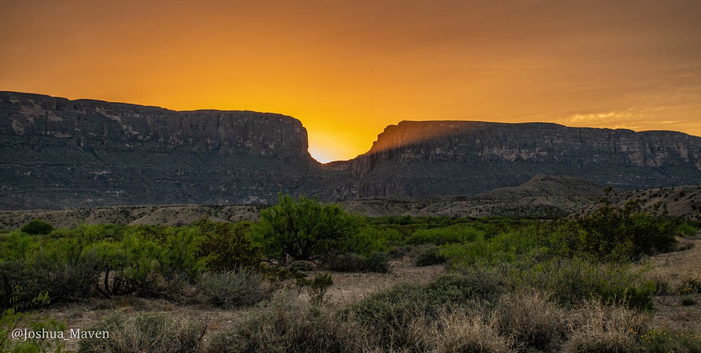
We parked at the trailhead, walked across a dry section of riverbed, and began hiking up a series of switchback steps that led us into Santa Elena Canyon and alongside a 1,500-foot high cliffside carved by the Rio Grande River. The sun eventually dipped behind the limestone walls, and an orange beam exploded through the center, filling the desert landscape in soft golden light.
We woke up early the next morning after an uncomfortable night of camping with temperatures dropping to the 30s and winds gusting as high as 25 miles per hour. It was still dark when we climbed outside of our tent and saw thousands of stars lighting up the nighttime skies. Come to find out Big Bend is an International Dark Sky Park, which basically means it's one of the best places in the world for stargazing. But it was far too cold to stand outside searching for Ursa Major and Minor, the Big and Little Bears, when their real-life counterparts were roaming inside Big Bend just a few miles away.
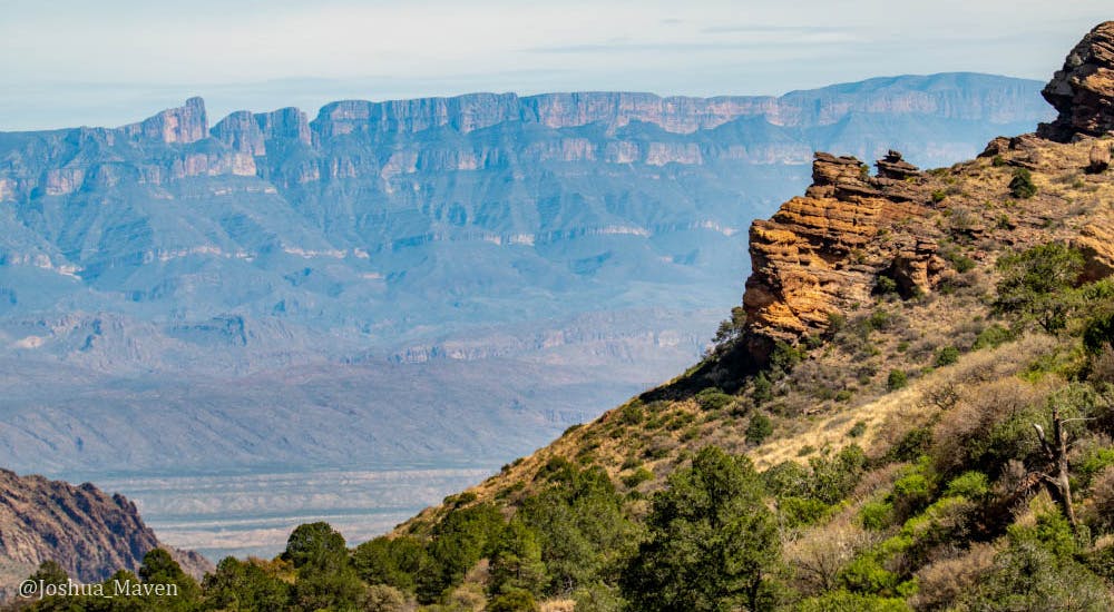
By the time we arrived at the entrance of the park, hints of dawn were crawling across the summits of the Chisos Mountains, revealing a forested landscape of pine, oak and juniper trees. We spent the majority of our day hiking in and around the area, taking in the breathtaking views from the top of Lost Mine Trail and keeping our cameras ready for a chance encounter with some of the resident wildlife, everything from black bears to javelinas to the elusive mountain lion.
By mid-afternoon, the winds had subsided and the desert heat began to make its presence felt. We were heading to a secluded area in search of a trail with less foot traffic when we spotted a lone coyote trotting down the middle of a back-country road. The mountains were perfectly staged in the background so we pulled over to take some pics of the coyote as it strolled past us in search of its next meal.
Hemmed in on three sides by the Chisos Mountains, the Pine Canyon Trail is a four mile out-and-back that begins in a lower-lying desert environment where vegetation is scarce outside the ubiquitous cacti, then moves into a high-desert grassland, and finally transitions into a wooded canyon with ponderosa pines and Texas madrones offering some much needed shade. We approached the base of a seasonal waterfall and felt a noticeable drop in temperature. The 150-foot high pour-off was dry during our visit, but those lucky enough to come after a good downpour can see the cascading water flow into the canyon and fill the dry brooks below.
We logged nearly 10 miles of hiking and saw deer, woodpeckers, and even a rock squirrel, but no bears. Our day ended with one final stroll through the Hot Spring Trail located at the park’s southern edge, where we treated our tired feet to a dip in the 105-degree natural healing waters. On our hike out we looked up at the cliffside and spotted hundreds of swallows’ nests, one of approximately 450 different bird species reported inside the park, which makes up more than half of all of the bird species found in the entire U.S.
Our time in Big Bend had come to an end, but our adventure continued the next morning when we took Farm to Market Road 170, nicknamed the Texas Mountain Trail or the El Camino del Rio (River Road), and headed toward the far-out town of Marfa. The scenic drive followed the Rio Grande River through the mountainous Trans-Pecos area of the state, along tight curves, rolling hills, steep climbs and windy descents, with endless views that rivaled anything we saw inside the national park.
Our return to civilization began with a stop at Planet Marfa for a much-needed beer followed by an amazing steak dinner with some of the best queso I can remember at Al Campo Restaurant. Then we headed out to the Marfa Lights Viewing Station in hopes of catching a glimpse of the mysterious orbs of light known to appear in the night sky. We waited for a few hours, but the only flashes came from the headlights of cars coming and going from the parking lot, so we decided to make the hour drive to the small adobe casita we had rented for the night at Los Alamos Ranch.
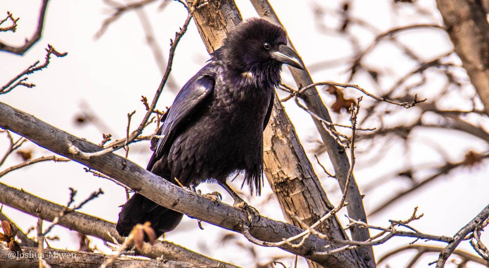
The wildlife was more active the next morning during our final drive back to town. We snapped pictures of jackrabbits, an eight-point buck and a bird that had previously eluded my camera lens for the better part of three years: a roadrunner. We had just finished breakfast at Boyz2Men Restaurant in Marfa and were about to make the long drive home when I heard an unmistakable croak nearby. I immediately grabbed my camera and went searching for the bird that is the inspiration behind my book. Sure enough, high up in a tree making too much racket too early in the morning was a Chihuahuan raven. It was the perfect ending to what seemed at times like an otherworldly trip.
Follow me on Instagram at @Joshua_Maven or @HonchotheVan, on Twitter @MaventheRaven or Facebook at Facebook/TheLastImperial.
Postcards to Samuel
It's 8:00 p.m. on Wednesday, July 31, 2024, and I'm trying something a little different with this post. Instead of my usual blog format, I compiled a series of postcards that I wrote to my 10-month-old son, Samuel, during a two-week road trip I recently took to the Great Lakes. I plan to give him these postcards, along with others from future trips, when he's older in hopes that they will inspire him to chase his own dreams, whatever those might be.
False Summit
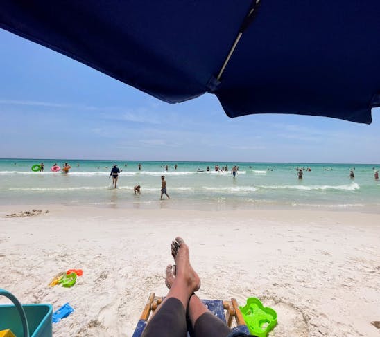
It’s 12:00 p.m. on Sunday, July 30, 2023, and I’m lounging at the beach enjoying the white sands and green waters of Florida’s Emerald Coast. Today is my 40th birthday and a relaxing getaway is exactly what I needed after a two-week road trip out west, where I hiked the highest peaks of Colorado and Arizona. The reasoning behind my latest excursion was simple: if I’m going to be “over the hill,” then I might as well be standing on top of a mountain.
Recharged
It’s 2:00 p.m. on Friday, Sept. 16, 2022, and I’m resting inside Honcho—my van—at the Taos Ski Valley Resort after successfully hiking Wheeler Peak, New Mexico’s highest point. I made the long drive west for a much-needed mental health getaway in nature. That, and it was a good excuse for me to test a new house battery I had installed the week before. Needless to say, my lungs and legs are physically exhausted after my 13,000-foot climb this morning, but the satisfaction that comes from summiting another mountain is just the feeling I was looking for.
